Ravines West of Mount Tootie
- Date:
- 07-Nov-2022
- Category:
- Day Walk
- Days:
- 1
- Grade:
- 4 MHX
- Description
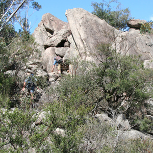
- Park at GR 680 930 on Mount Tootie Road and descend into a gully to the west. Follow it to the cliff line above Bowens Creek, then traverse northwards, checking the next several ravines, as long as the time allows. Exit towards spot height 673 m and walk cross-country back to the vehicles. About 6 km. Scrambling and exposure. Exploratory.
- Map:
- Wollangambe
- Participants:
- 8
- Type:
- Short Notice
- Joint Walk With:
- NPA, SBW, BC